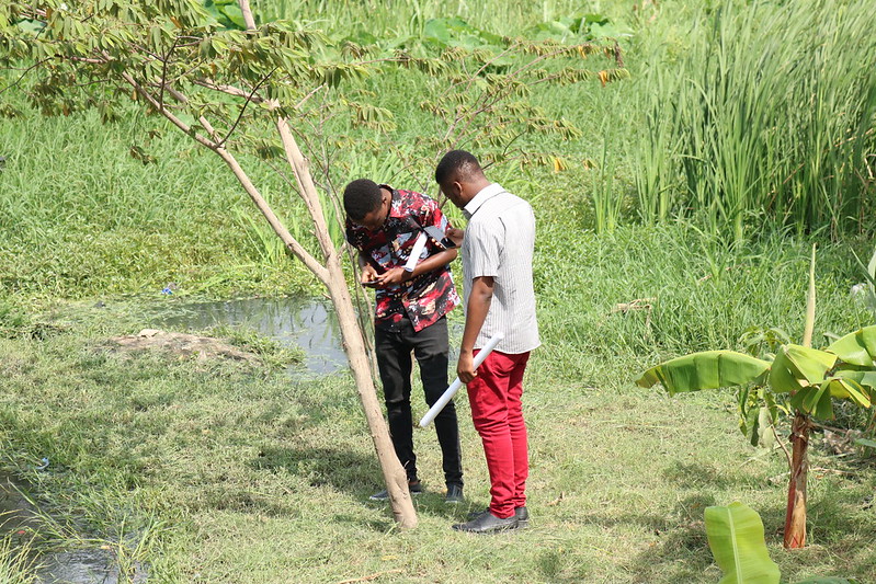
Students learn concepts, methods and different tools of participatory land-use planning and practical skills to collect, analyse and visualise community-produced geospatial data. Module 6 creates a knowledge base and digital skills to use different participatory and community-driven methods and practices with location-technology solutions for mapping local risks and planning sustainable cities and living environments of the future.
- Lärare: Venla Aaltonen
- Lärare: Nora Fagerholm
- Lärare: Elina Kasvi
- Lärare: Niina Käyhkö
- Lärare: Khairiya Massoud
- Lärare: Msilikale Msilanga
- Lärare: khalifa zahor
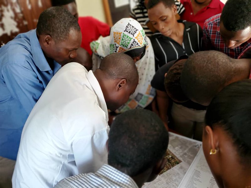
Under this module, the student learns from Dar Ramani Huria experiences which have been published under the cookbook online courses. It includes the main concepts covered by Ramani Huria, structured as a self-learning course. The material is primarily designed to be used by professionals who already have some knowledge and experience in open source mapping applications.
- Lärare: Venla Aaltonen
- Lärare: Niina Käyhkö
- Lärare: Msilikale Msilanga