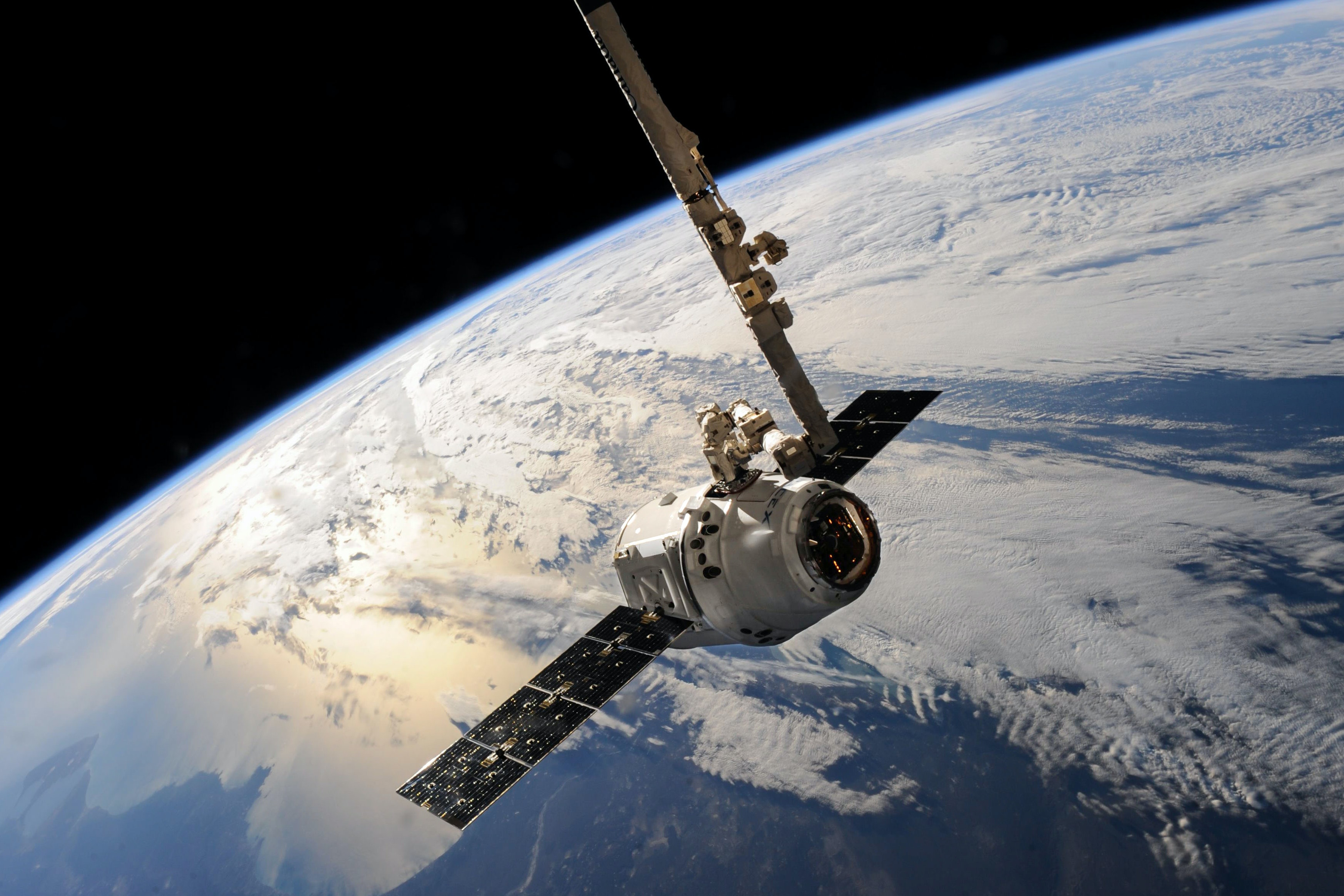
In this MOOC course you will learn the basic concepts of remote sensing in the context of forest resource mapping and monitoring. You will learn about different technologies (laser scanning, optical imaging, radars and microwave remote sensing), their properties and how they can be utilized in environmental monitoring. You will also learn some basic concepts of geoinformatics that help you cope with remote sensing data. The course includes both theoretical background and practical exercises that help you to familiarize yourself with some basic software that can be used for remote sensing data visualization and analysis.

- Opettaja
Johanna Jääskeläinen, Lauri Korhonen